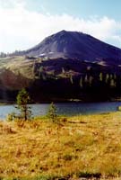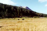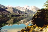
Twin Lakes, about 15 miles south-west of Bridgeport. (7100')
In the background you can see the Sawtooth Ridge part of the Hoover Wilderness, Yosemite National Park.
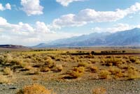
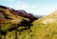
Looking south down the Owens Valley (4000'). That's the eastern scarp of the Sierras on the left. (11,000-12,000')
I'm guessing, now but I think the cinder cone in the distance may be Crater Mountain just outside of Big Pine.
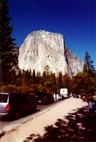
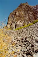
The Columns of the Giants, in the Stanislaus National Forest near Sonora Pass. The columns are formed when basalt cools, hexagonal crystals form and the rock cracks due to a temperature difference.
Devil's Postpile near Mammoth Lakes and Giant's Causeway in Ireland are similar.
